- Fountain Hills Ties as Safest Zip Code in Phoenix - Oct 14, 2019
- How Many Single-Family Homes in Maricopa County? - Oct 13, 2019
- Investing in Multi-Family Real Estate in Your 20s - Oct 9, 2019
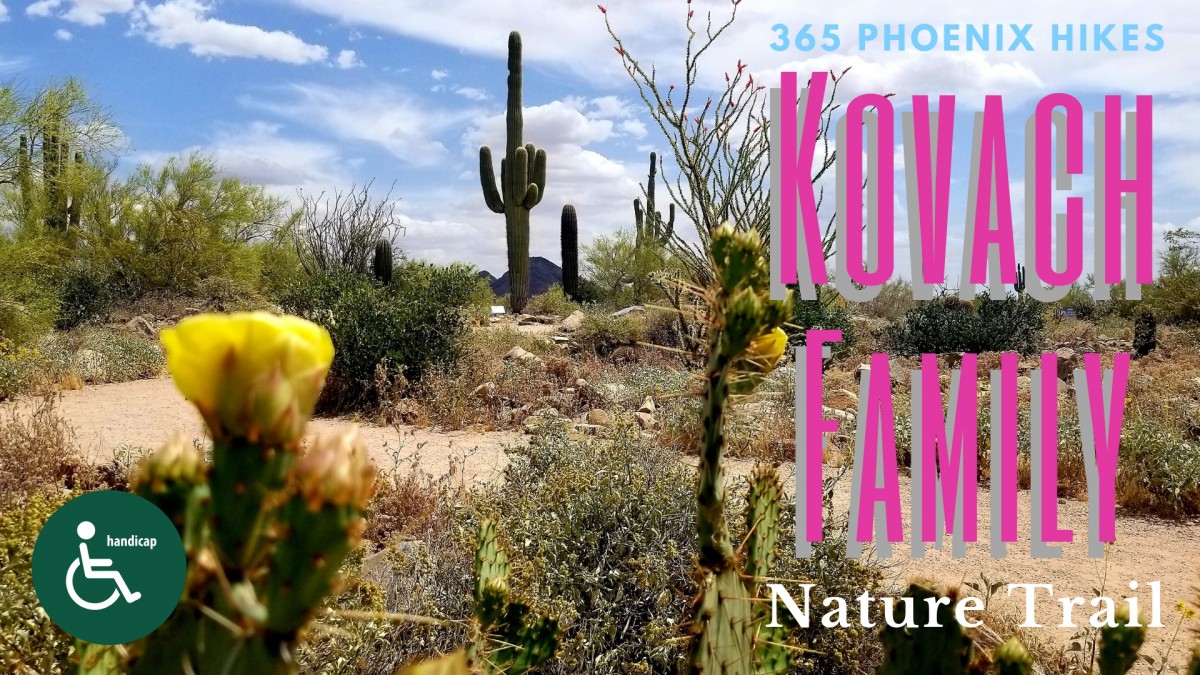
Phoenix, Arizona offers hundreds of miles of hiking trails for all skill levels. There is a different trail here for every day of the year. The 365 Phoenix Hikes project is my endeavor to connect our stunning geography with the great surrounding neighborhoods.
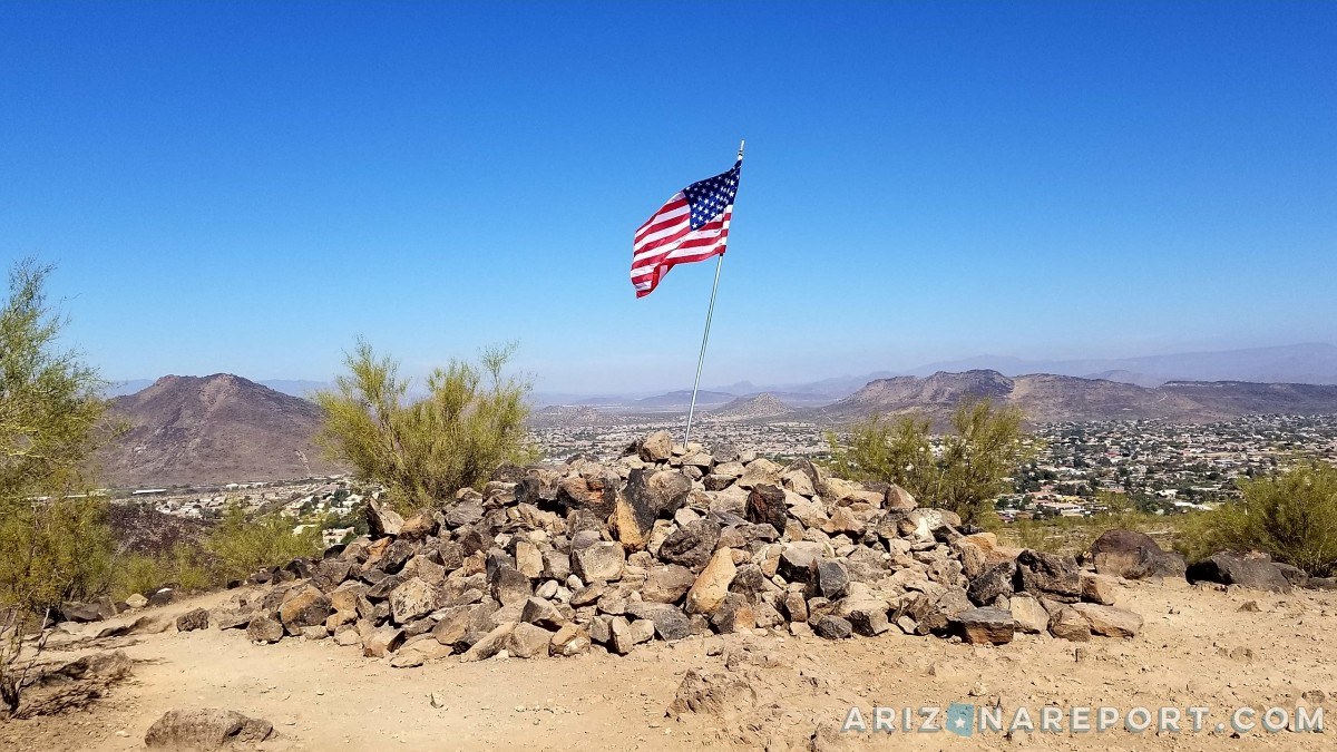
I enjoy hiking trails where I’m greeted at the summit by a crisp American flag whipping in the breeze (Daisy Mountain in Anthem is another). Here is one such hike in Glendale. This is a quick, scenic and relatively easy hike that presents you with a lofty view of the Northwest Valley below.
The Thunderbird Conservation Park forms the northeastern boundary of the City of Glendale. Its 1,185 acres feature over 15 miles of hiking trails that meander through the Hedgpeth Hills. There are eight hiking trails in the park. This post reviews the Arrowhead Point Trail. Here is a trail map.
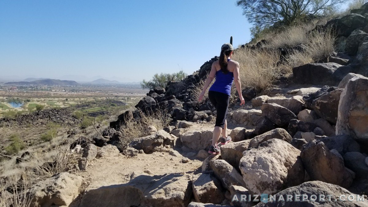
This excursion is a light-to-moderate 1.5-mile loop trail that takes approximately 55 minutes to complete at a casual pace. Plan on 30 minutes to ascend and 25 minutes for the return trip. The summit (elev. 1850′) has panoramic views of Arrowhead Lakes, Arrowhead Ranch, and Monarch Point to the south. Total elevation gain is modest by Phoenix mountain standards. It’s just 450 feet up from the parking lot.
The Thunderbird Conservation Park is popular, especially on the weekends during the winter months. Many families with young children were on the trail this morning. Plenty of pets were in tow. Dogs (on leashes 6ft. or shorter) are permitted. (Glendale City Park Code even makes a provision for leash-able house cats on trails). I didn’t see any water stations or drinking fountains at this trailhead, so be sure to pack enough bottled water for your pup.
Horse staging areas with water are available at a separate park entrance to the west on 59th Ave. The Thunderbird Conservation Park is the northern terminus for a 9-mile bridle path that extends south to the intersection of 51st Ave. and Cactus Road.
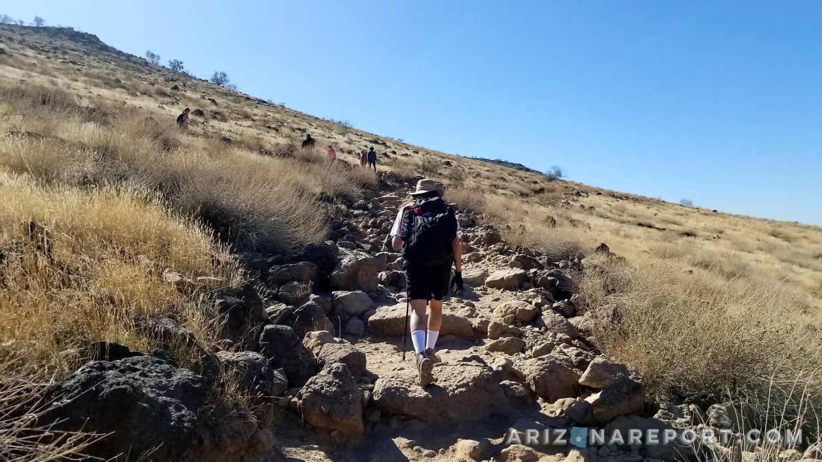
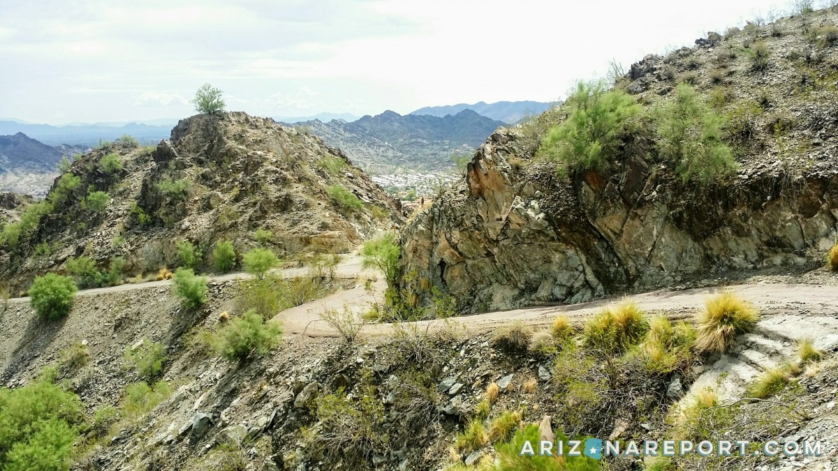
The trail begins at the north end of the park near the intersection of W. Pinnacle Peak Rd. and N. 55th Ave. There is a broad, level gravel path for the initial 400 feet. Then at the base of the mountain, an incline begins as an ungroomed trail (see photo above) of loose rock and packed earth. Stay left at the trail post. The hiking path is lined with impressive volcanic rock that has been a part of the landscape here for millions of years. Step clearance on many of these rocks is about 16″.
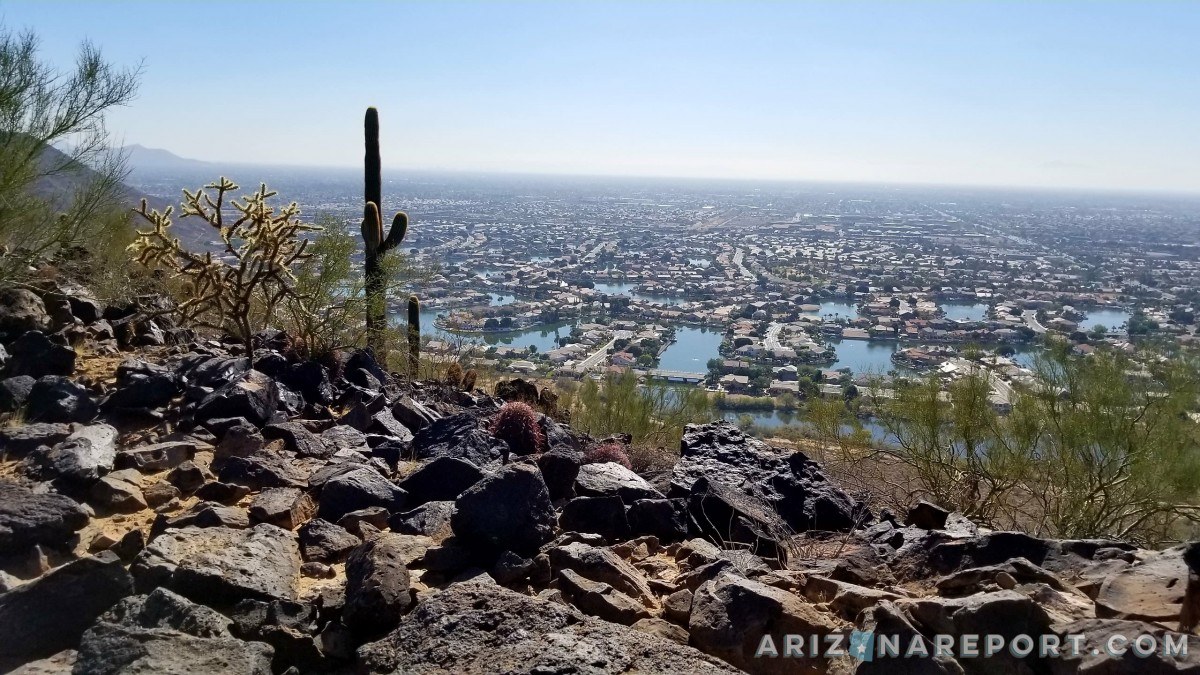
The switchbacks conclude about half a mile up the mountainside. The trail then levels out to a 10° grade until just before you reach the summit. From the top, you’ll even be able to make out the University of Phoenix Stadium in the distance on a clear day. It’s 13 miles to the southwest. The photo below is another view to the south from just below the peak. The lagoons of the Arrowhead Lakes subdivision are recognizable below the trail.
Reasons why I think that the Arrowhead Point Trail is a great hike in the Northwest Valley:
- easy parking
- quick-in-and-out
- sweeping Valley panoramas
- no steep cliffs or drop-offs
- 6′ wide trail at most points
- dog-friendly
- 20-mile or further visibility on a clear day
- conveniently accessible to residents of Stetson Valley, Stetson Hills and Arrowhead Lakes
- several ramadas for picnics
- fields of volcanic rock
Just two drawbacks. There is no shade on this trail. None. Pack a hat and plenty of water. There are also no restrooms at this end of the park.
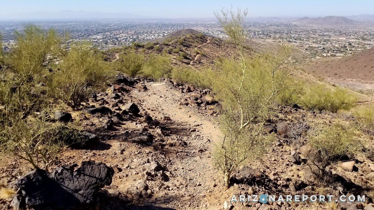
This photo presents the beginning of the descent from the peak on the western side of the loop trail. Sun City West is ahead dead center on the horizon.
Program this address into your GPS to find the trailhead: 5458 W. Pinnacle Peak Rd. Glendale, Arizona 85310. Weekends are a busy time for the Arrowhead Point Trail. Despite the activity today, parking in the gravel lots along Pinnacle Peak Rd. was abundant. I counted approximately 150 parking spaces between the two lots. Only half were full on a Saturday afternoon.
The park is open sunrise to sunset.
Here is a quick 2-minute video produced by Glendale Channel 11 that features the Thunderbird Conservation Park Trails:

Leave me your impressions of the trails at Thunderbird Conservation Park in the comments section below. I will be updating the blog soon with more of the best hikes in Glendale and from around the Phoenix metro.
Looking for other hiking points of interest around Phoenix? Check out Avem.io.
As long as I live, I will never forget that day 21 years ago when I raised my hand and took the oath of citizenship. Do you know how proud I was? I was so proud that I walked around with an American flag around my shoulders all day long.
– Arnold Schwarzenegger, Austrian-born American actor, bodybuilder and the 38th Governor of California